Following publication of the Final EIS, Sun’aq Tribe of Kodiak and FAA held further government-to-government consultations to address our concerns with the mitigation plan described in the FEIS (see Section 11.0 of the Record of Decision). The result was a Memorandum of Agreement between STK and FAA (signed on 9/10/2013 – see Appendix B of the ROD). The compensatory mitigation plan for the Project was amended to include a five-year post-construction monitoring effort lead by STK to document the changes in habitat and species in the area influenced by the freshwater plume around the mouth of the Buskin River.
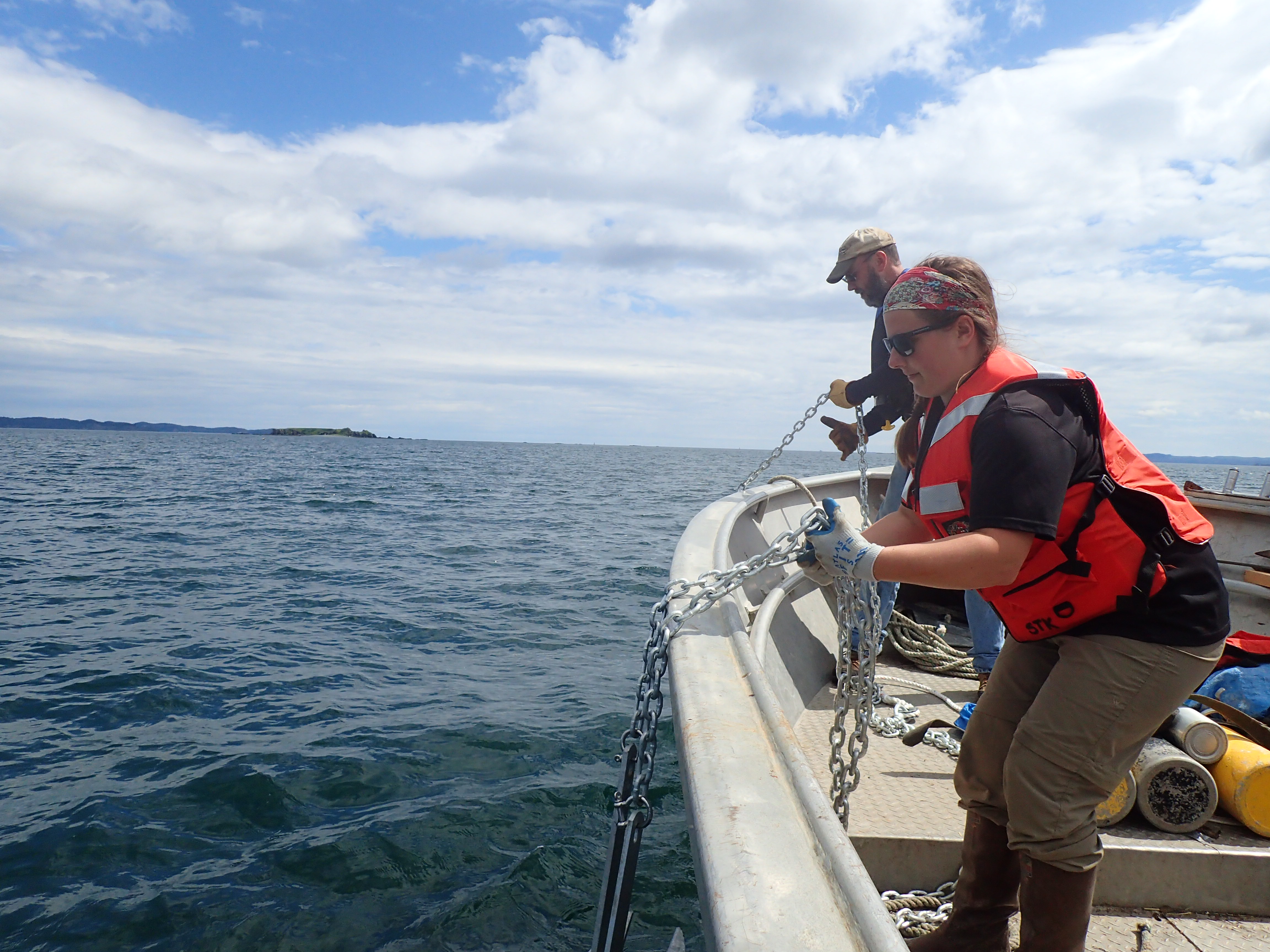
Project funding came from FAA’s Airport Improvement Program after Alaska Department of Transportation and Public Facilities (ADOT&PF) applied for and received the grand in-aid funding for the entire Kodiak Airport RSA Improvement Project. Sun’aq Tribe of Kodiak and ADOT&PF entered into a Memorandum of Agreement to conduct the Buskin River Marine Zone Study (or BRiMS for short), signed on July 1, 2014.
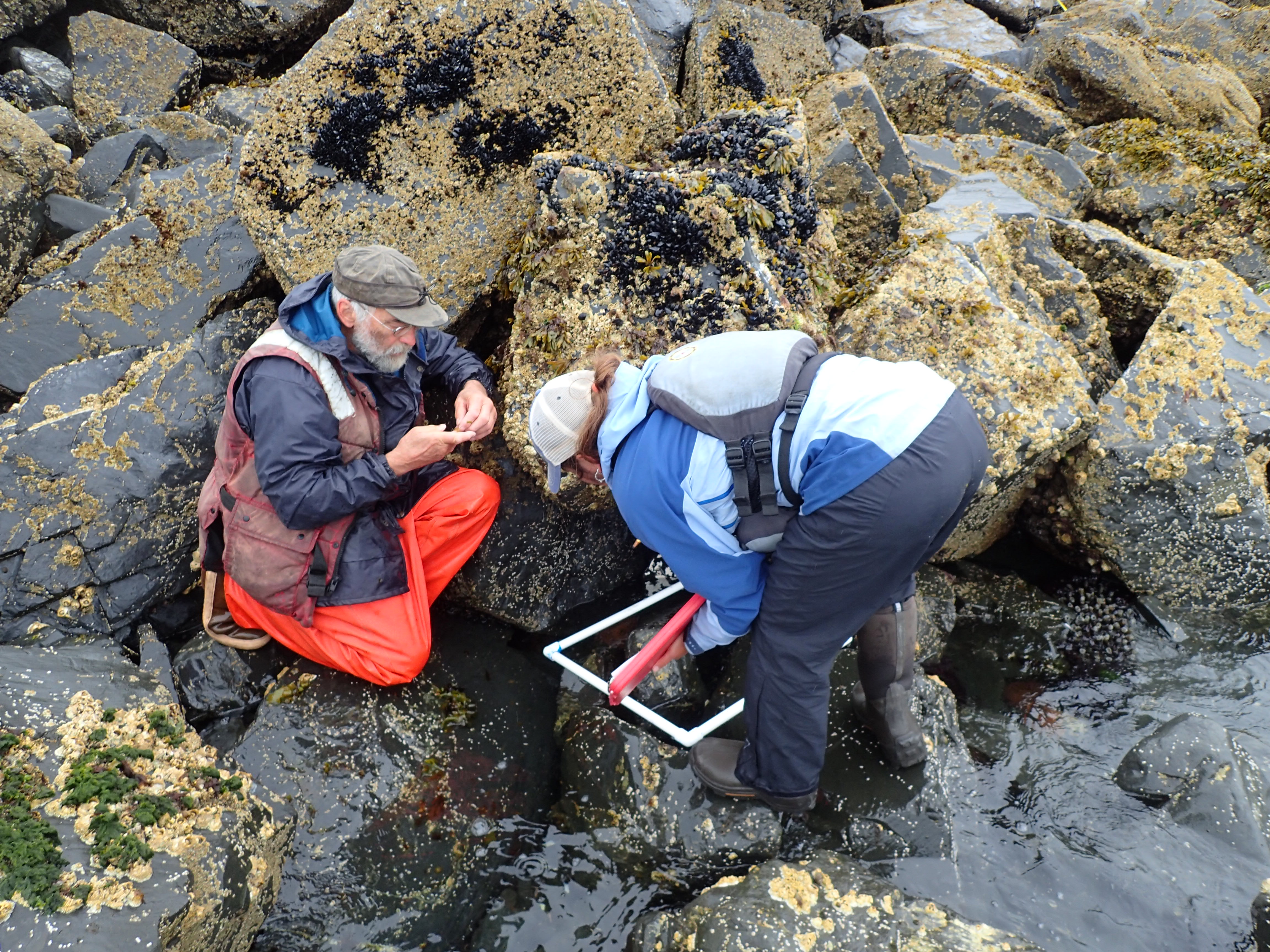
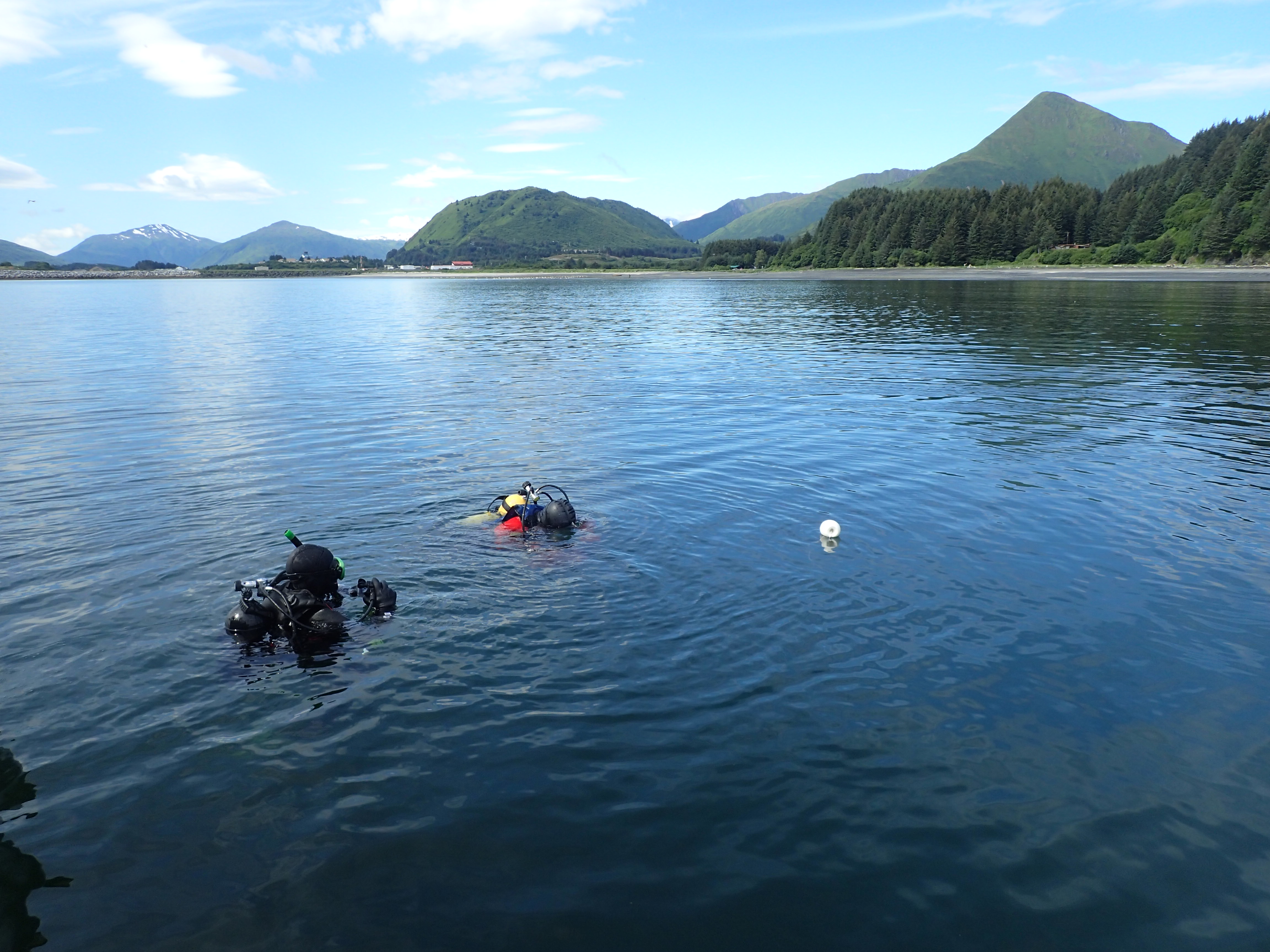
Starting in 2015, researchers began documenting relevant salmon habitat conditions on

BRiMS biological (red) and chemical (green) sites. Click to enlarge map.
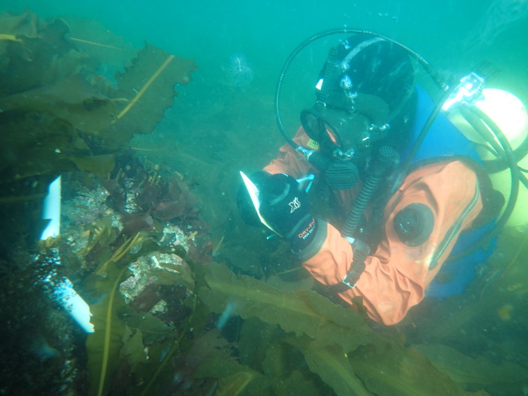
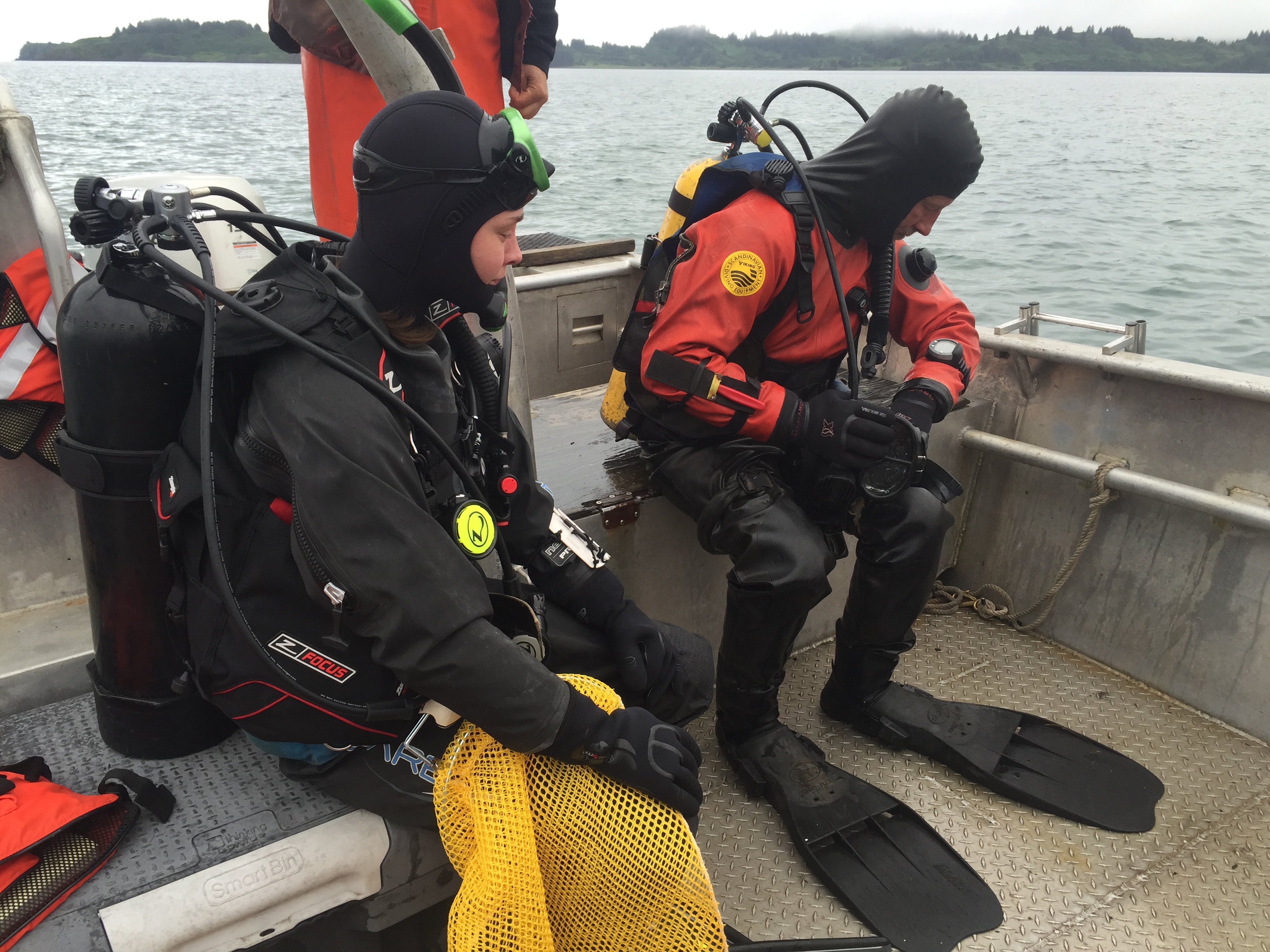
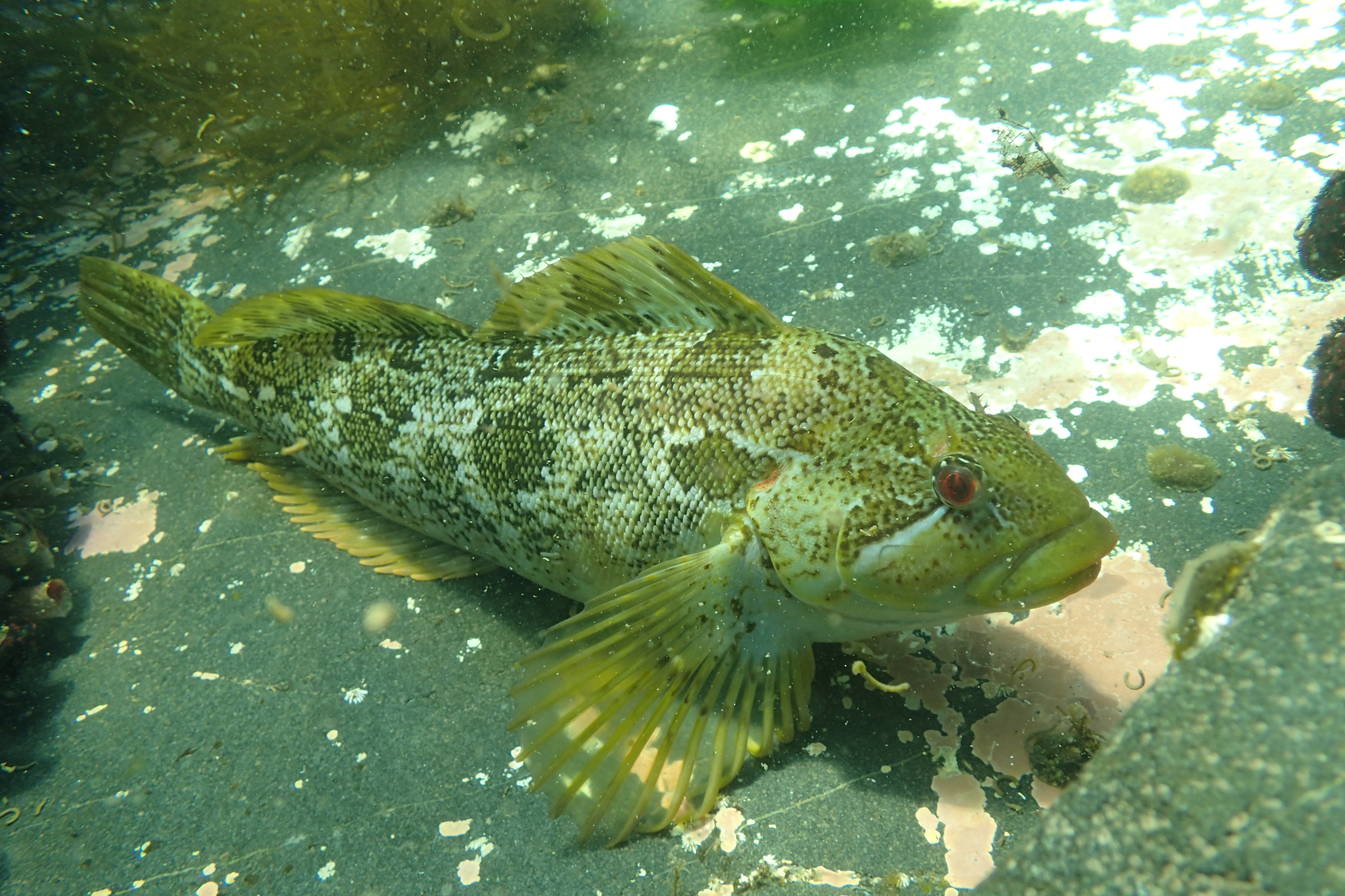
the seaward-side of the Buskin River outlet in Chiniak Bay. The study monitors basic habitat features of the Buskin River watershed that are important to salmon, as well as record customary and traditional uses of the subsistence fisheries by Sun’aq Tribal members, other Kodiak community residents, and visitors. Project cooperators include Alaska Department of Fish and Game (ADF&G), Department of Transportation and Public Facilities (DOT&PF), Federal Aviation Administration (FAA), United States Coast Guard (USCG), and the United States Fish and Wildlife Service (USFWS). Because the study area has a high potential for variability in biological and physical features, the study elements are equally varied and complex. Time and funding constraints limited the scope of the project to the following categories:
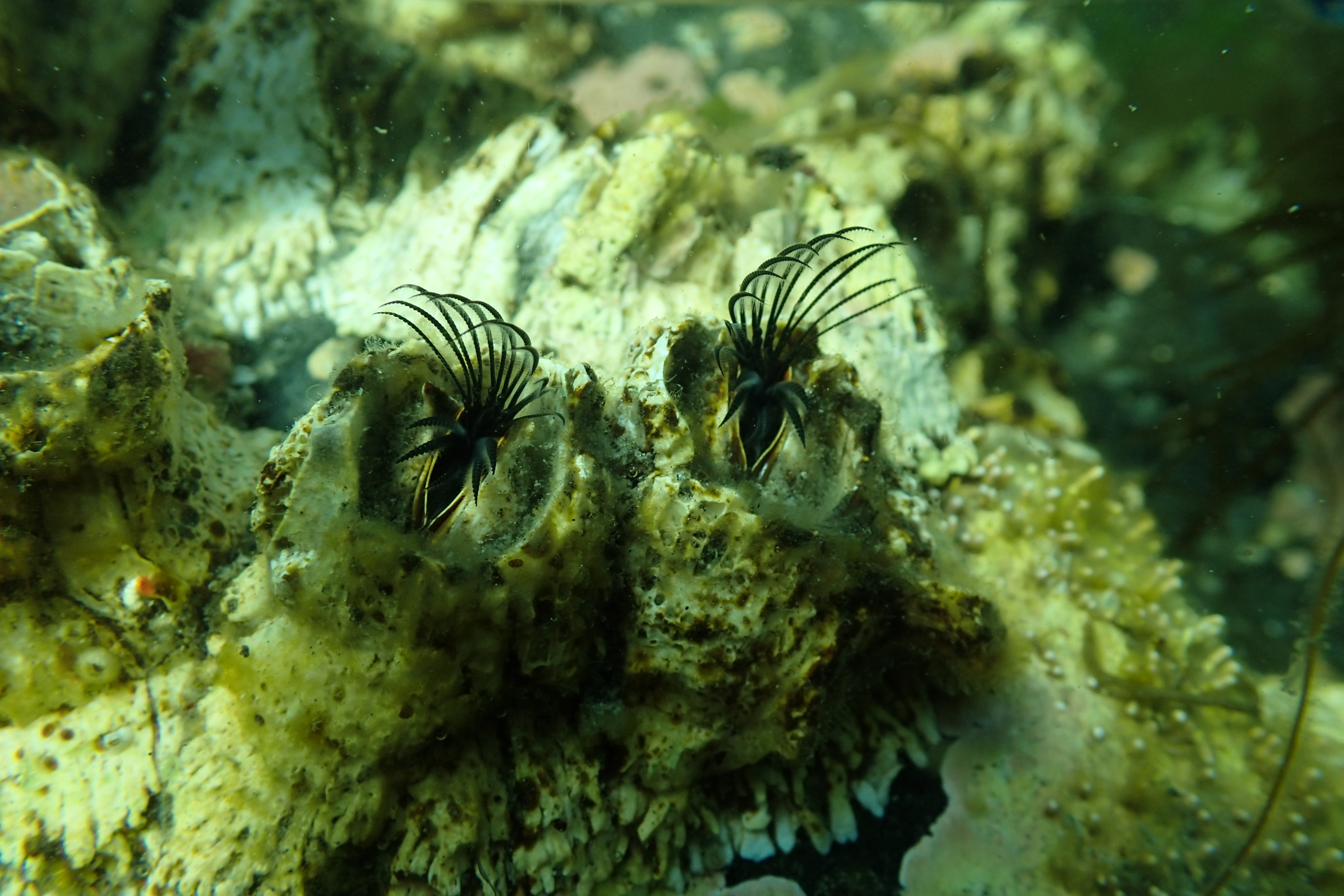
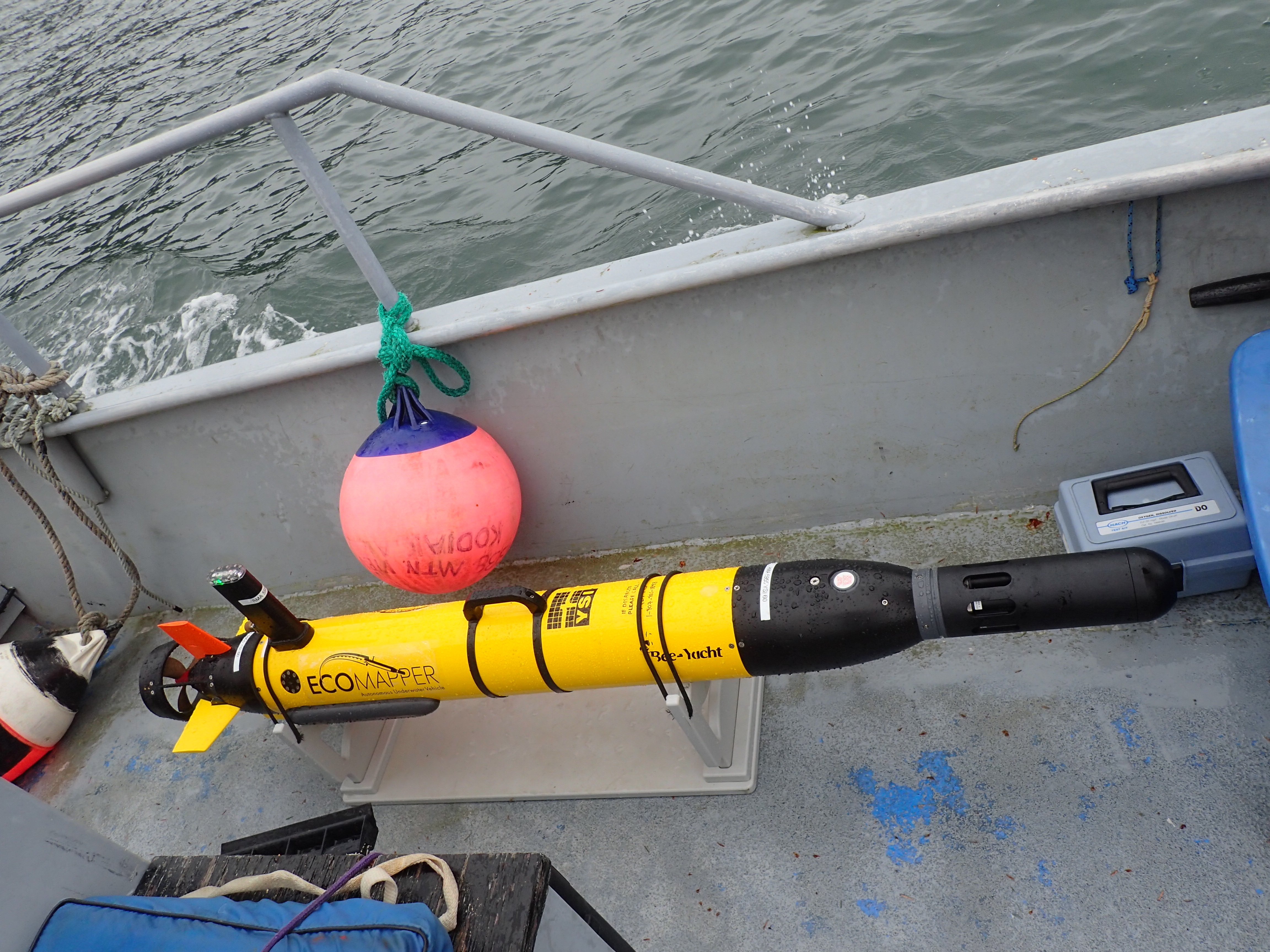
Physical: Describe basic bathymetry (underwater topographic) features;
Chemical: Record important chemical aspects (i.e.salinity and temperature);
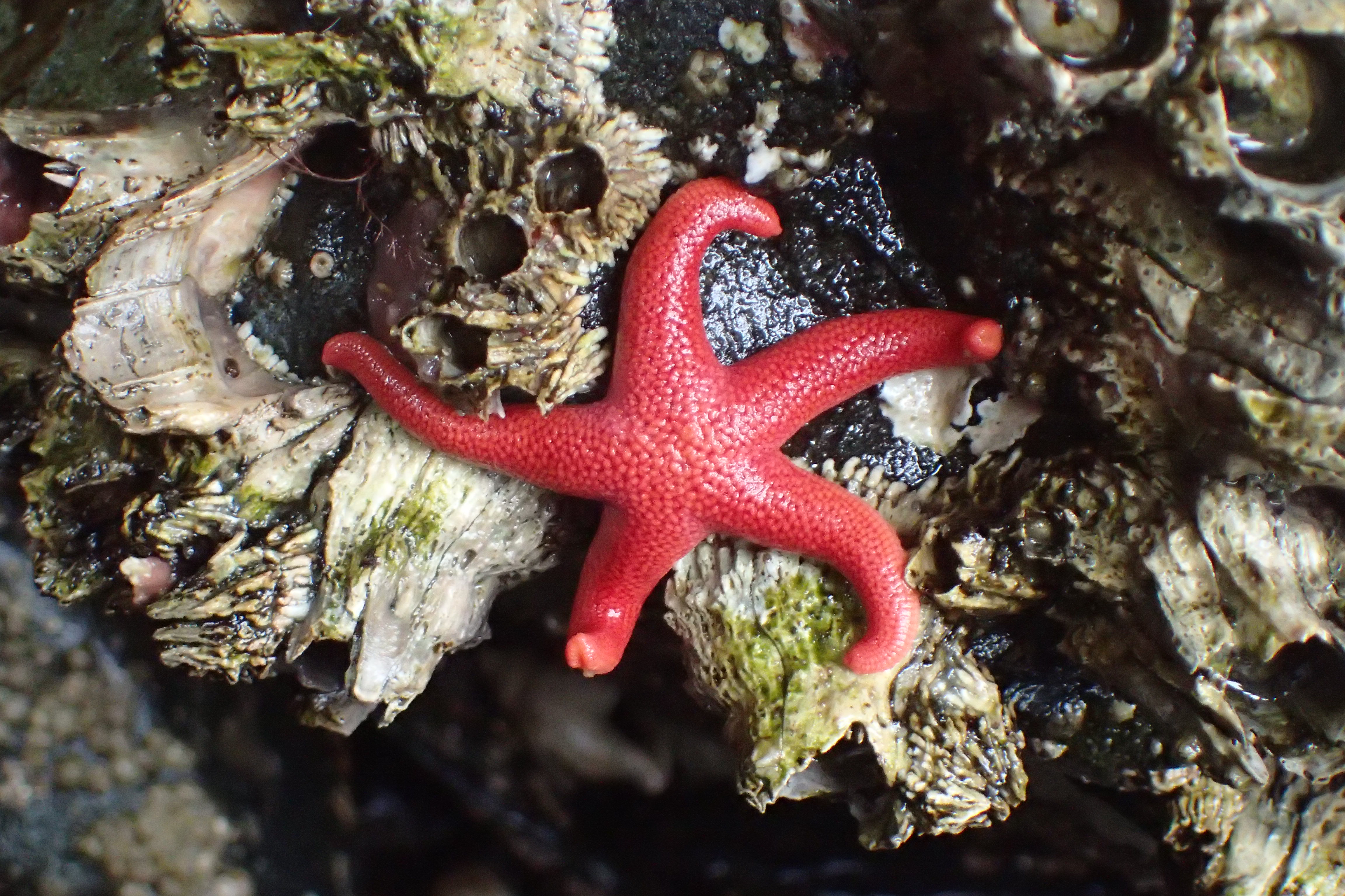
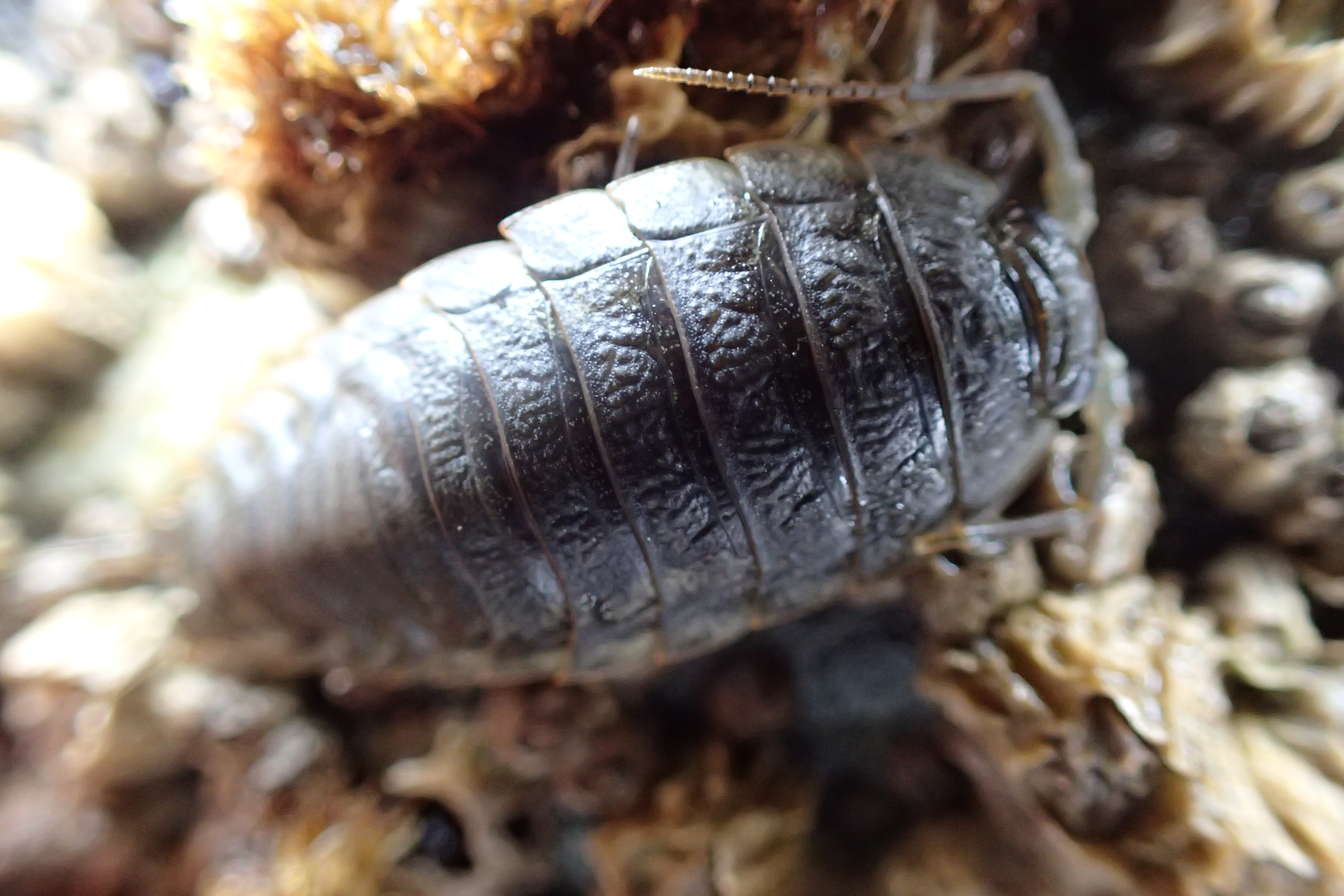
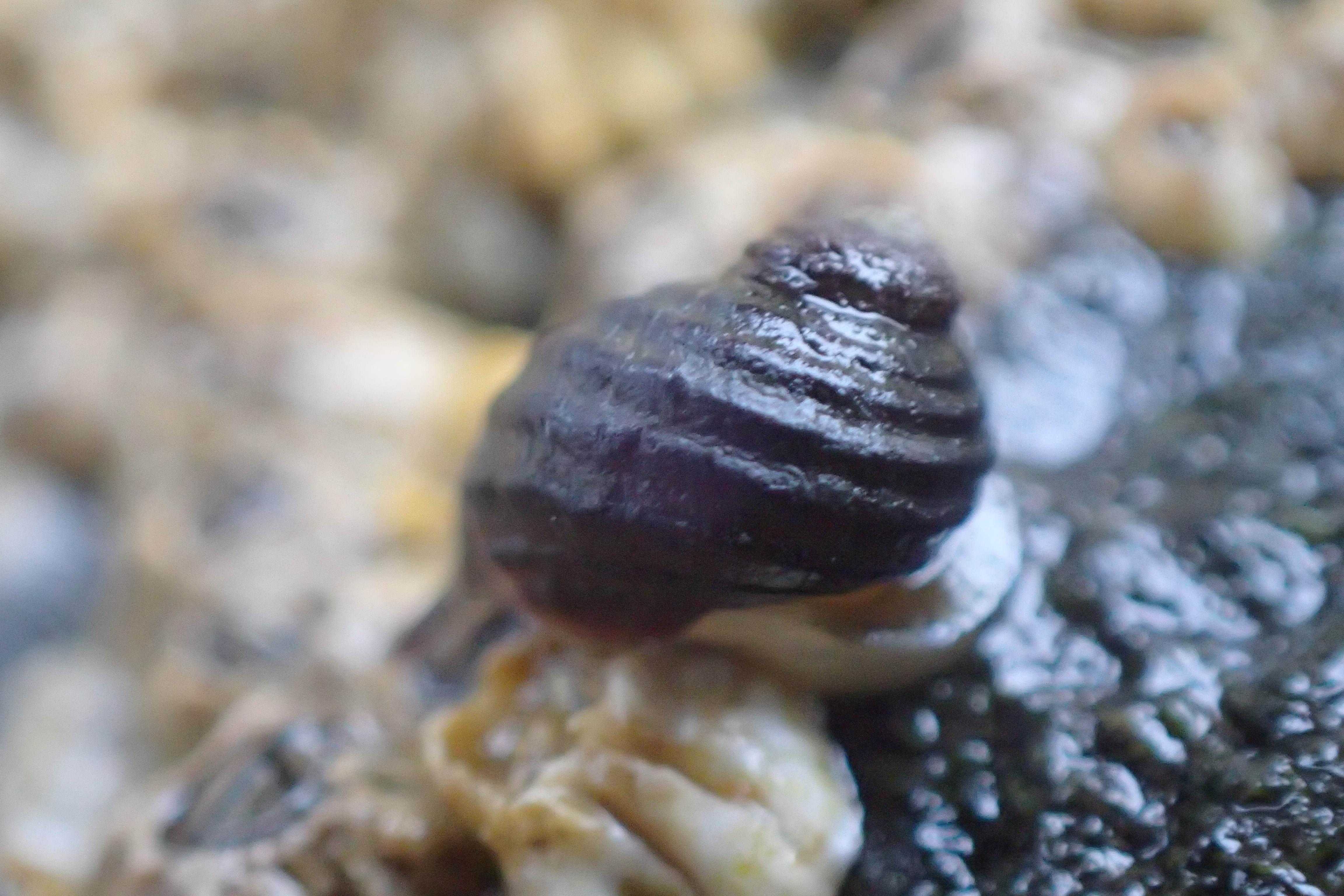
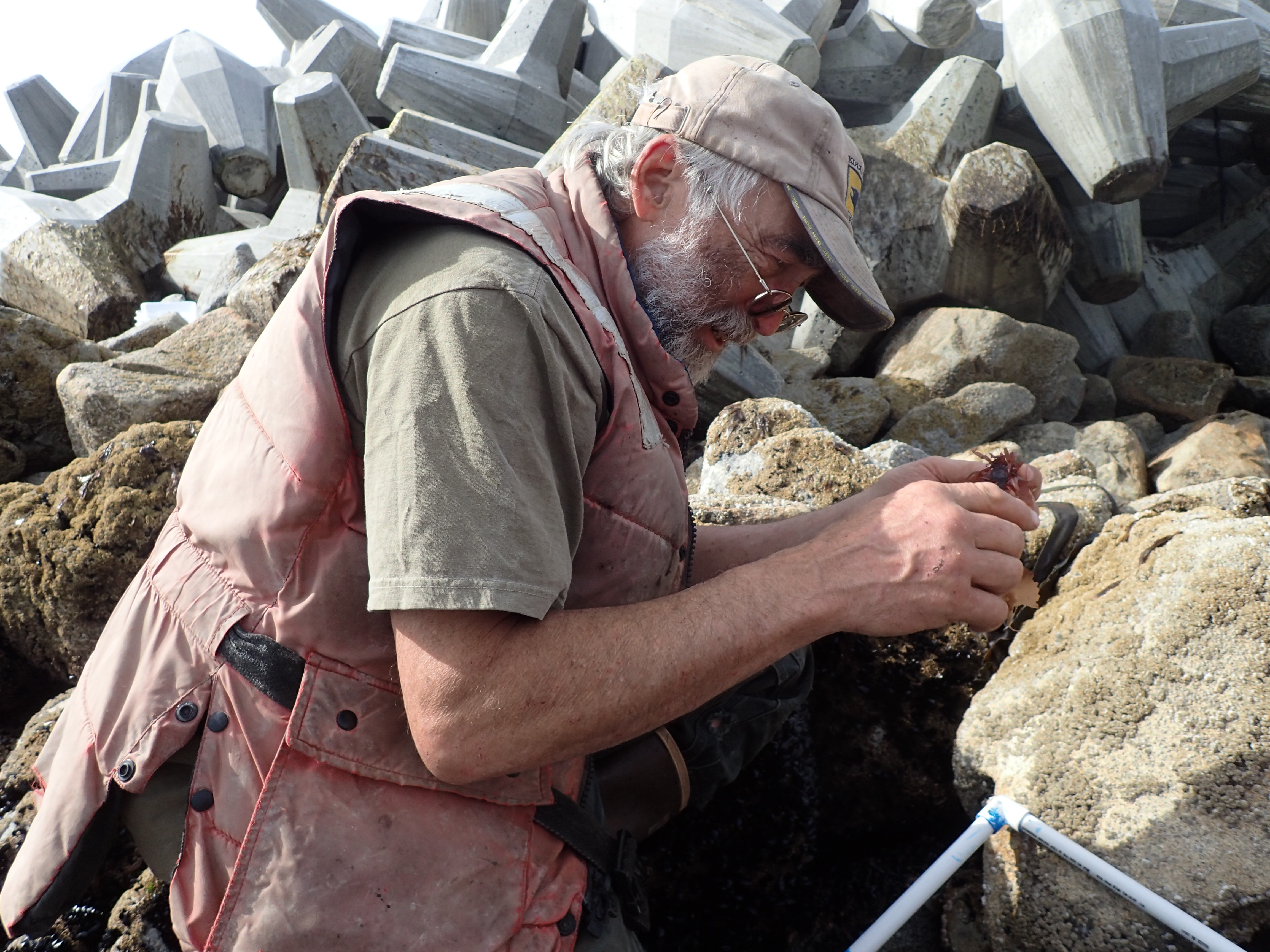
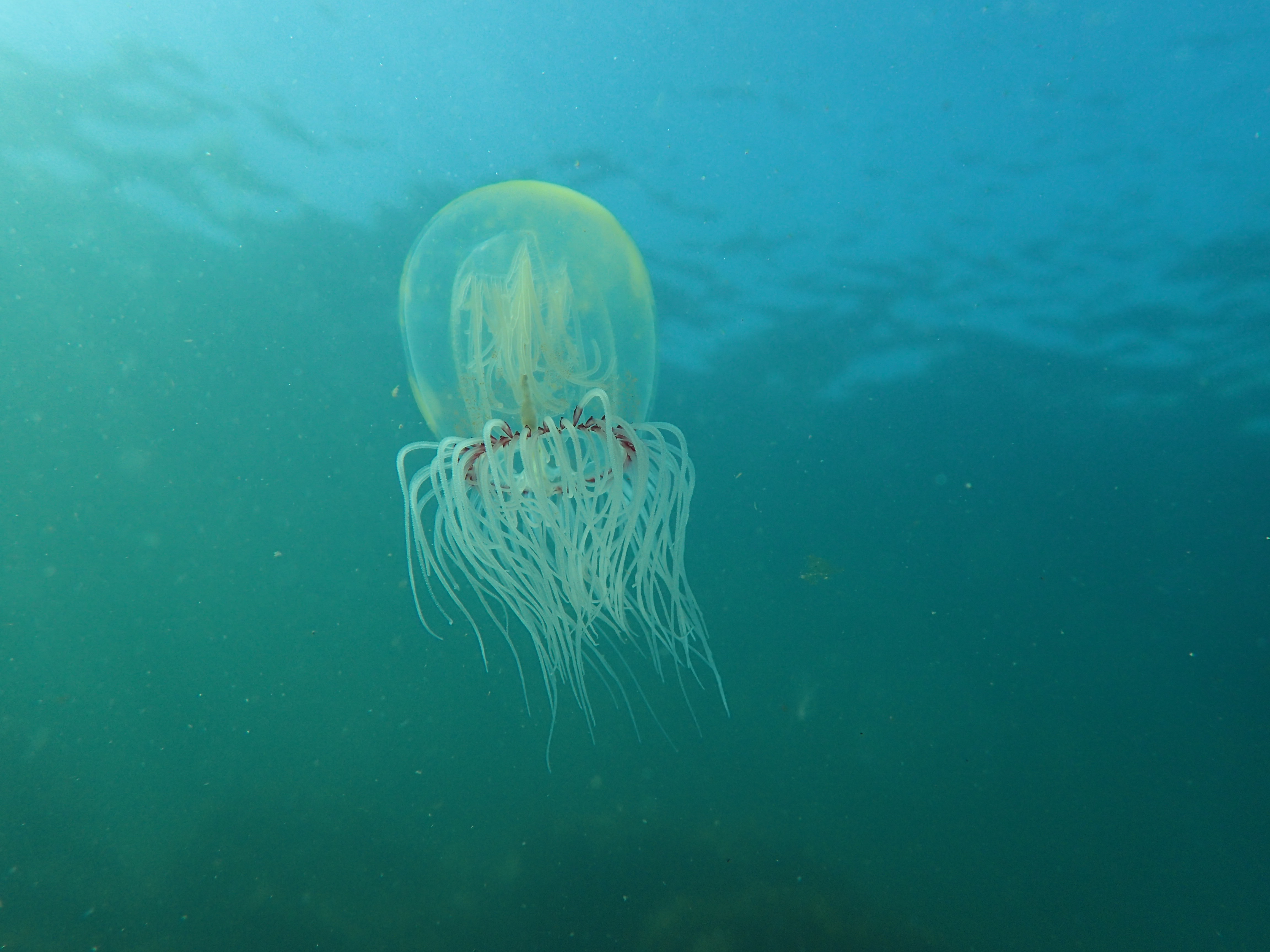
Biological: Monitor important biological aspects related to salmon habitat; and
Cultural: Identify human use of the Buskin River near-shore area.
Project deliverables will include both a technical memorandum at the ends of Project Year 2 and Year 4 to summarize preliminary study results, and a final report tentatively titled “Buskin River Marine Zone Study (BRiMS): Five Years of Habitat Monitoring.” This report will be delivered at the end of Project Year 5.